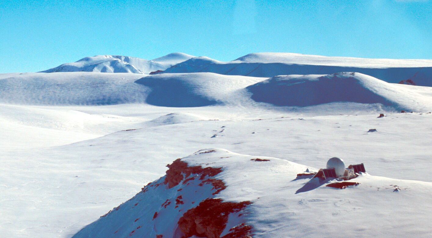
Beaver Lake GPS snow setting looking SW to the Dragon's teeth (with mouthgurad on)
(Click on image to view full resolution)
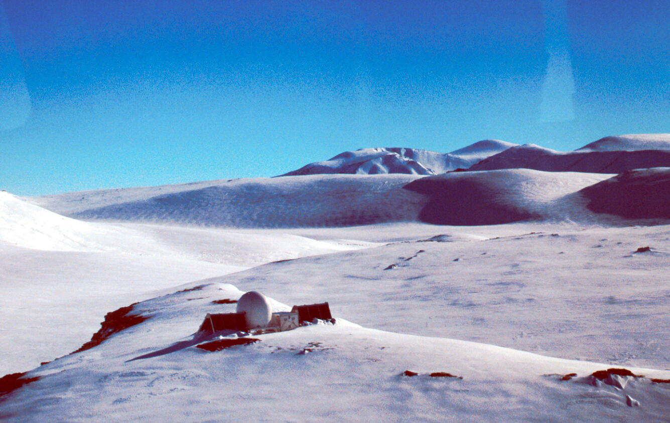
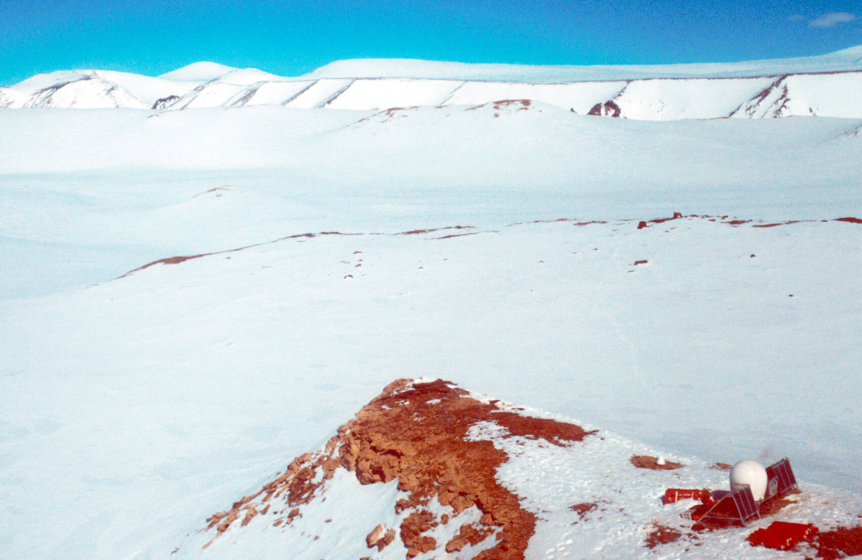
Approaching Beaver Lake GPS site
(Click on image to view full resolution)
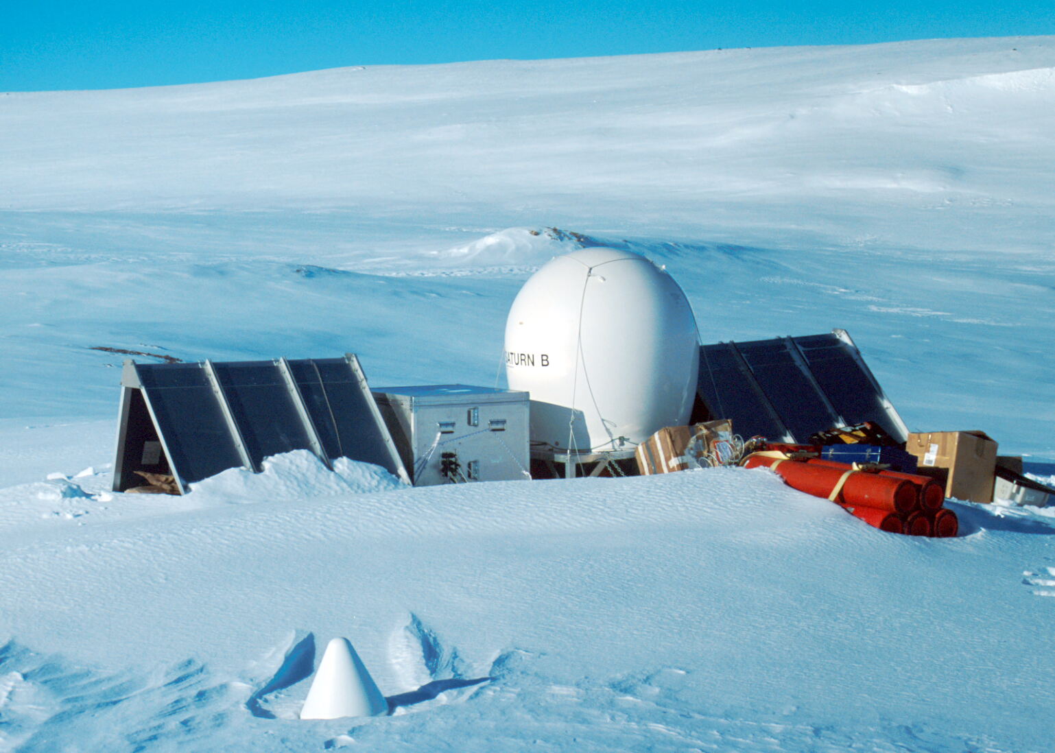
Beaver Lake GPS and antenna with snow cover
(Click on image to view full resolution)
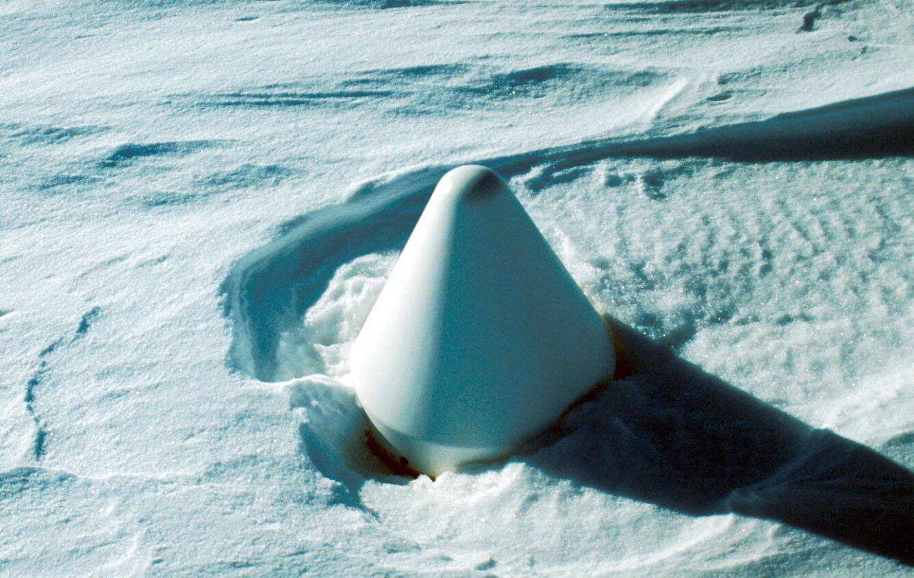
Beaver Lake GPS antenna covered in snow
(Click on image to view full resolution)
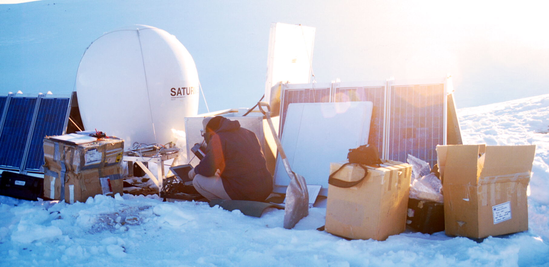
Richard, brainstorming at the Beaver Lake GPS site
(Click on image to view full resolution)
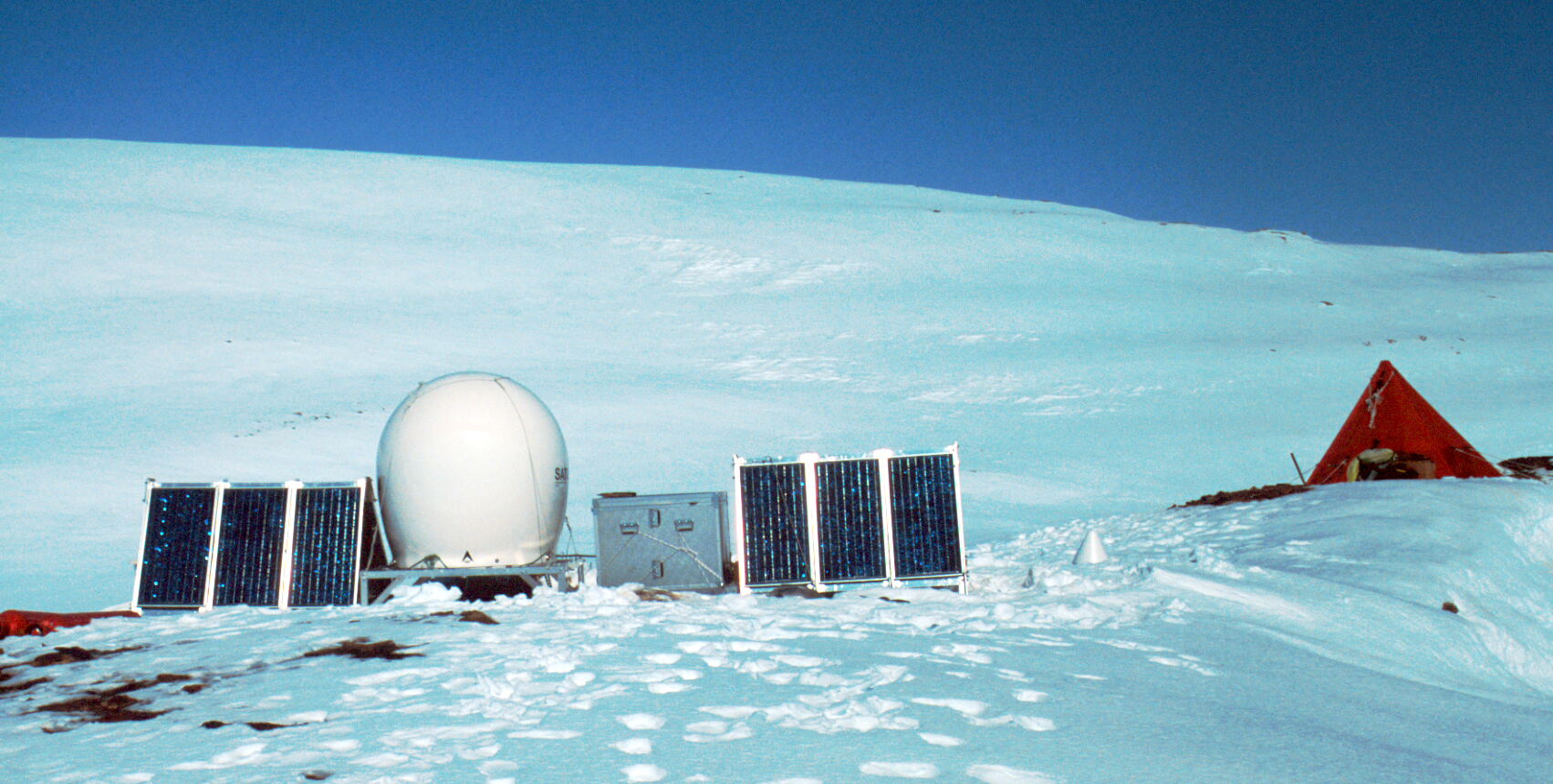
Beaver Lake GPS and pyramid tent
(Click on image to view full resolution)
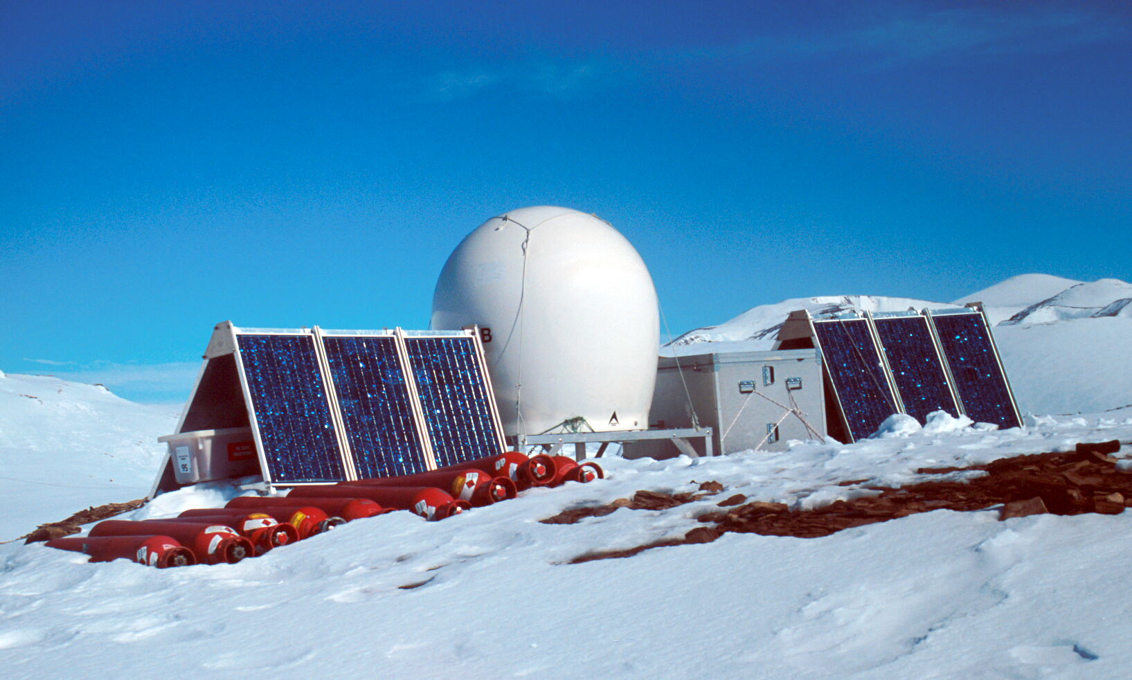
Beaver Lake GPS, January 2002
(Click on image to view full resolution)
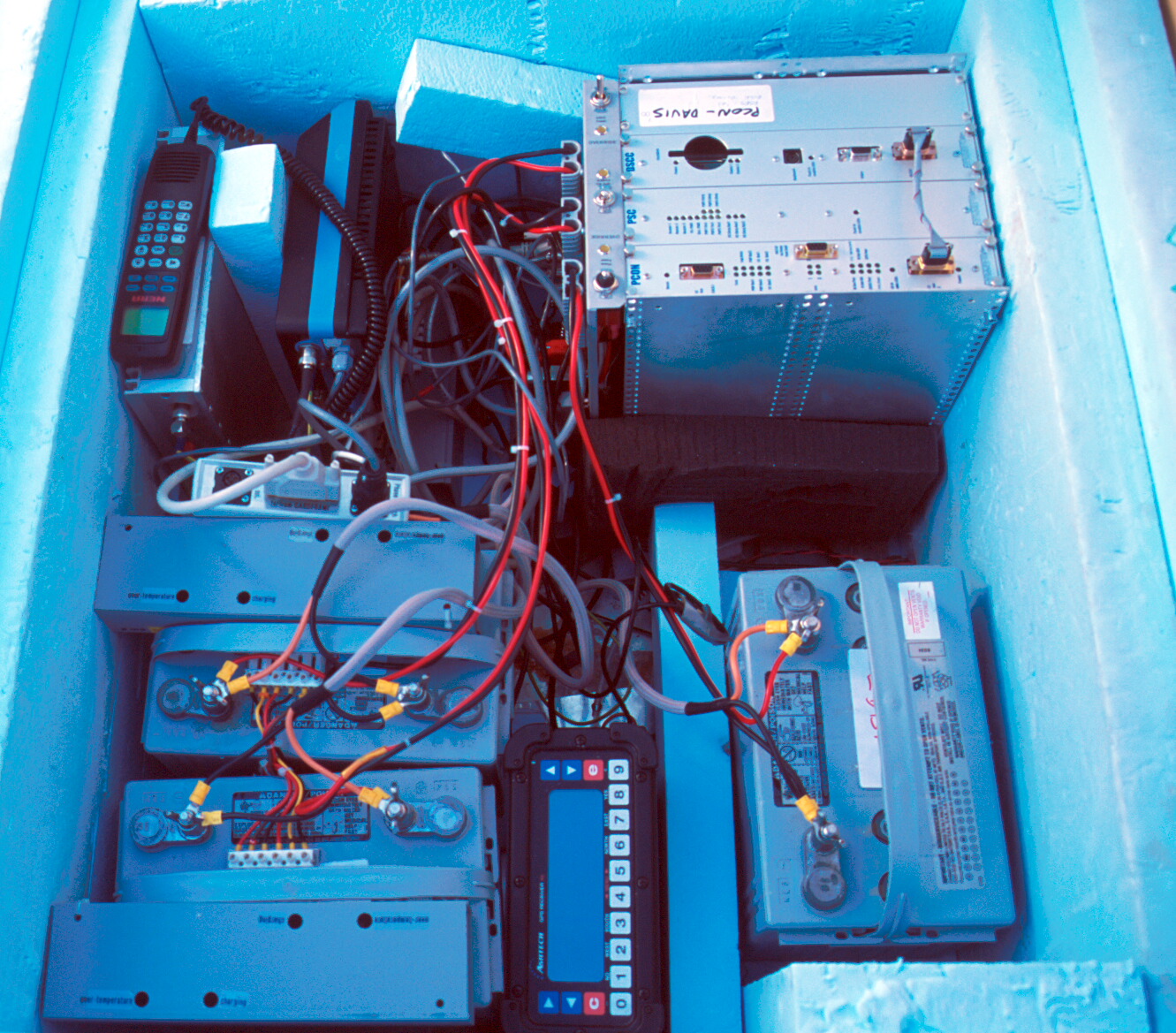
Inside the BST, Beaver Lake GPS electronics
(Click on image to view full resolution)
Approaching Beaver lake GPS site
(Click on image to view full resolution)

Close air approach to Beaver Lake GPS site, Dragon's Teeth behind
(Click on image to view full resolution)