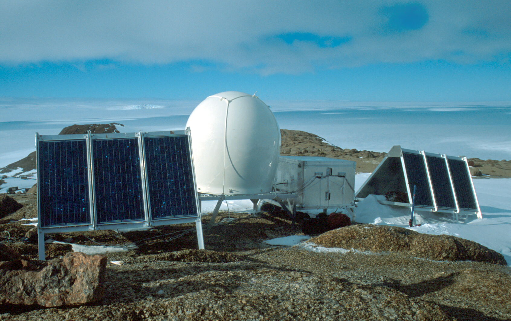
Landing Bluff GPS installation, looking south
(Click on image to view full resolution)
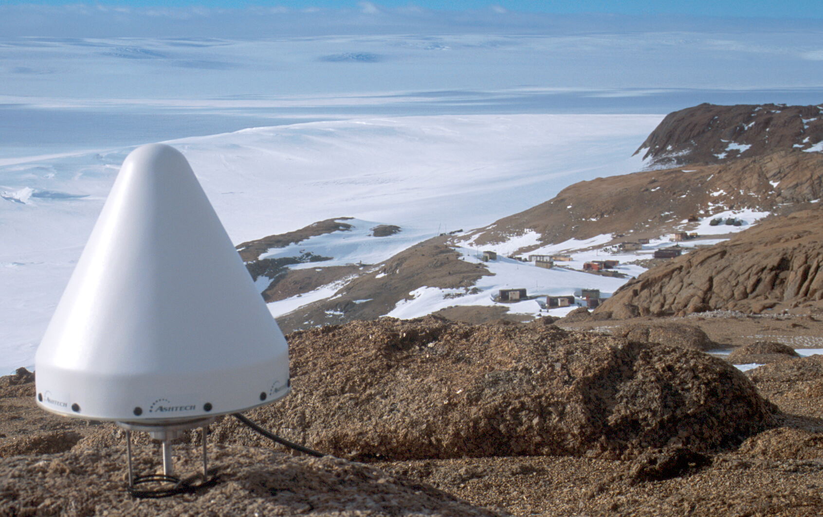
Ashtech antenna and radome at Landing Bluff, Druzhnaya IV in the background
(Click on image to view full resolution)
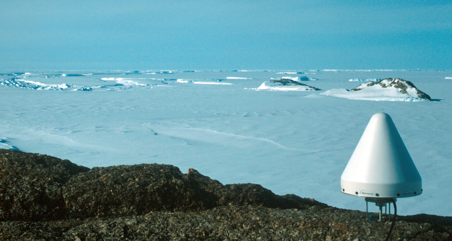
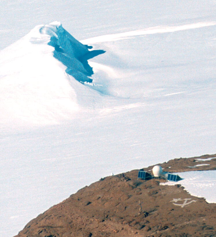
Ashtech antenna at Landing Bluff with Sansom Island in the background
(Click on image to view full resolution)
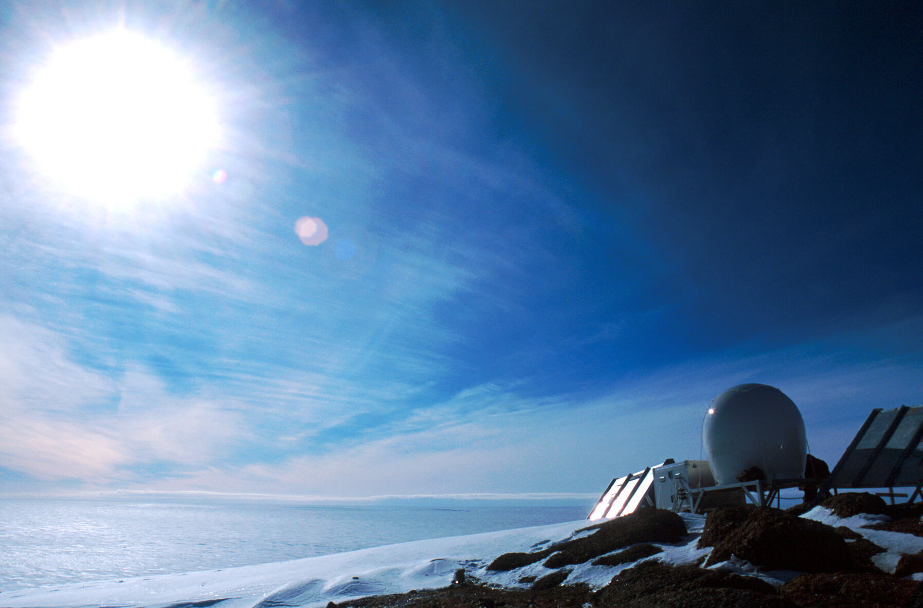
Evening sun over the Amery Ice Shelf at Landing Bluff GPS installation
(Click on image to view full resolution)
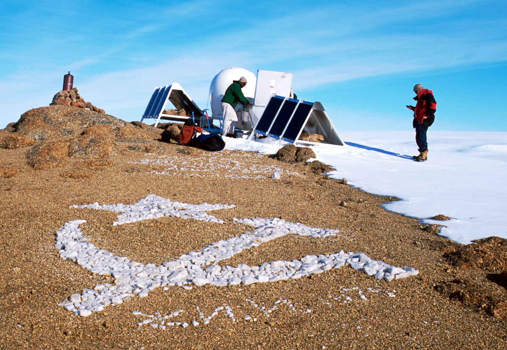
Hammer and Sickle geoglyph at Landing Bluff GPS site
(Click on image to view full resolution)
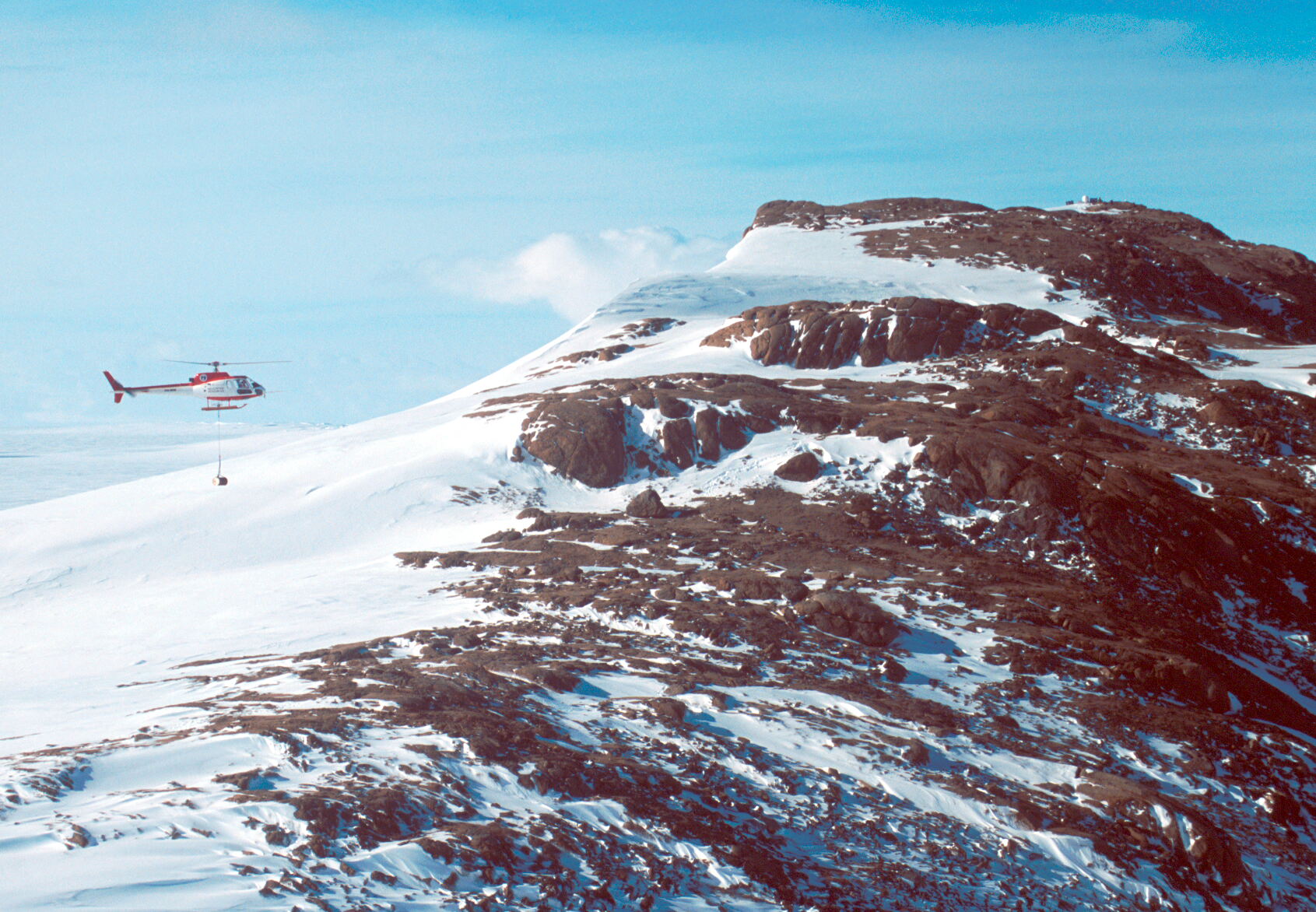
Squirrel with slung load, Landing Bluff GPS at the summit of the bluff
(Click on image to view full resolution)
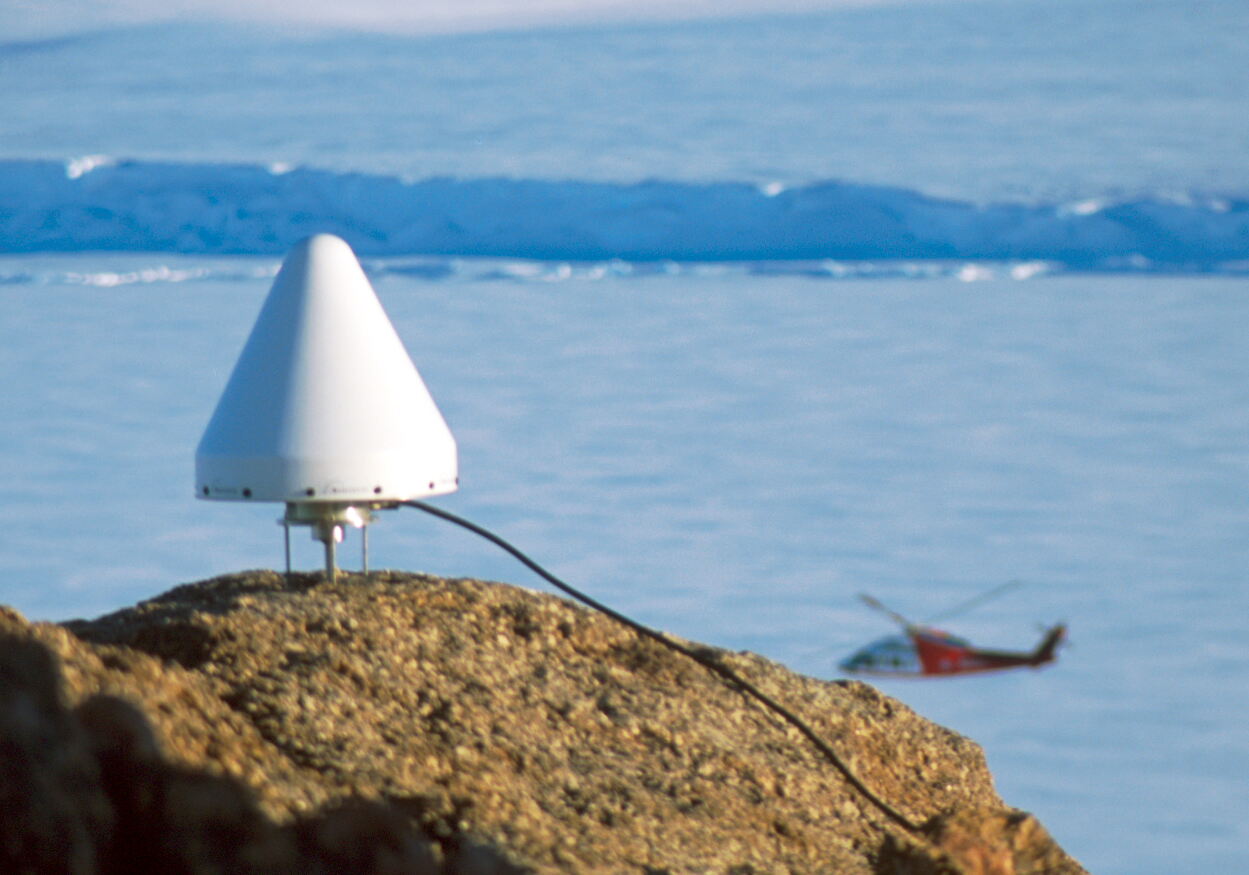
Antenna and Sikorsky S76 helicopter
(Click on image to view full resolution)

Landing Bluff, summit view looking north, Amery Ice shelf dropping to sea level on the left
(Click on image to view full resolution)
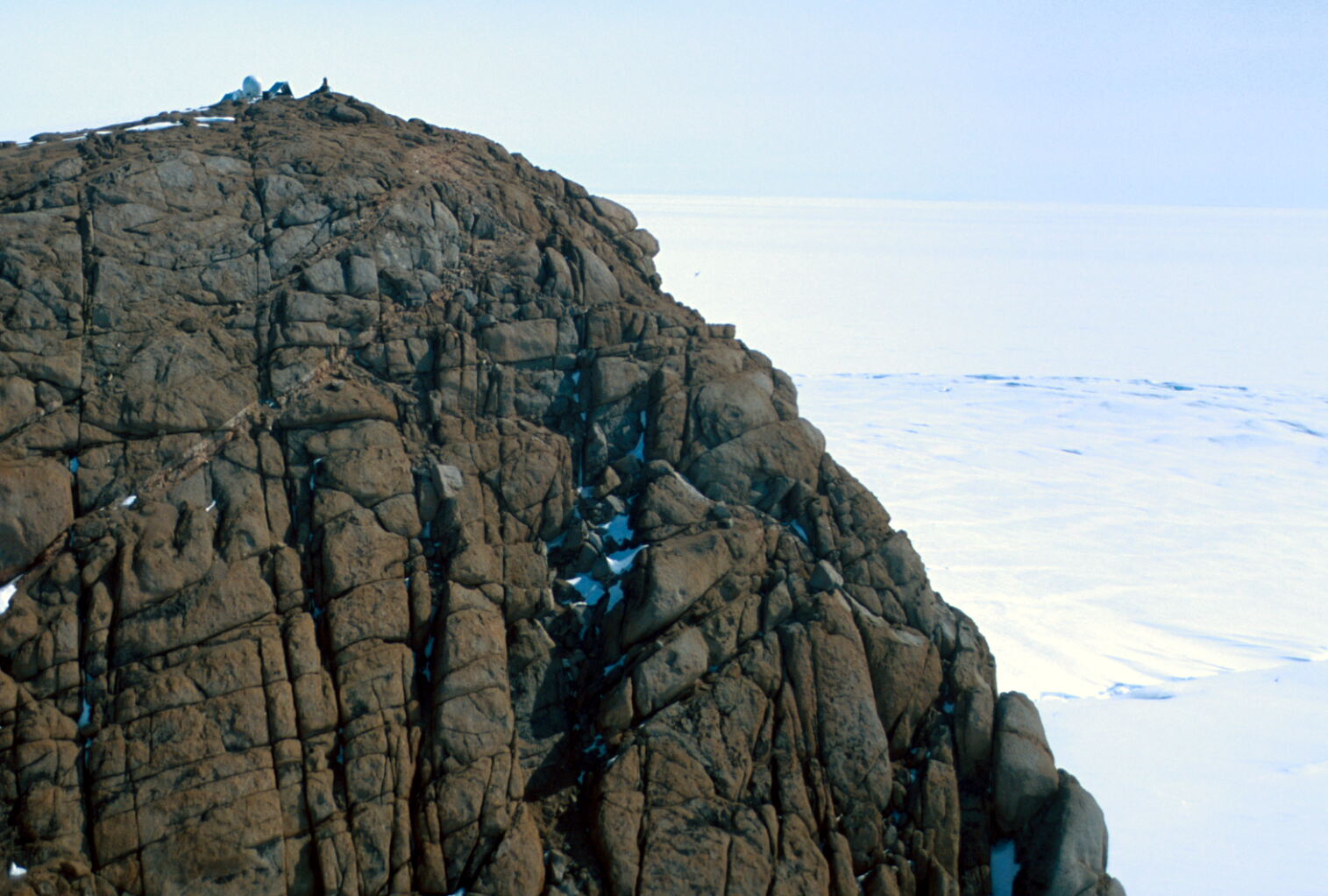
Landing Bluff and GPS installation from the east
(Click on image to view full resolution)
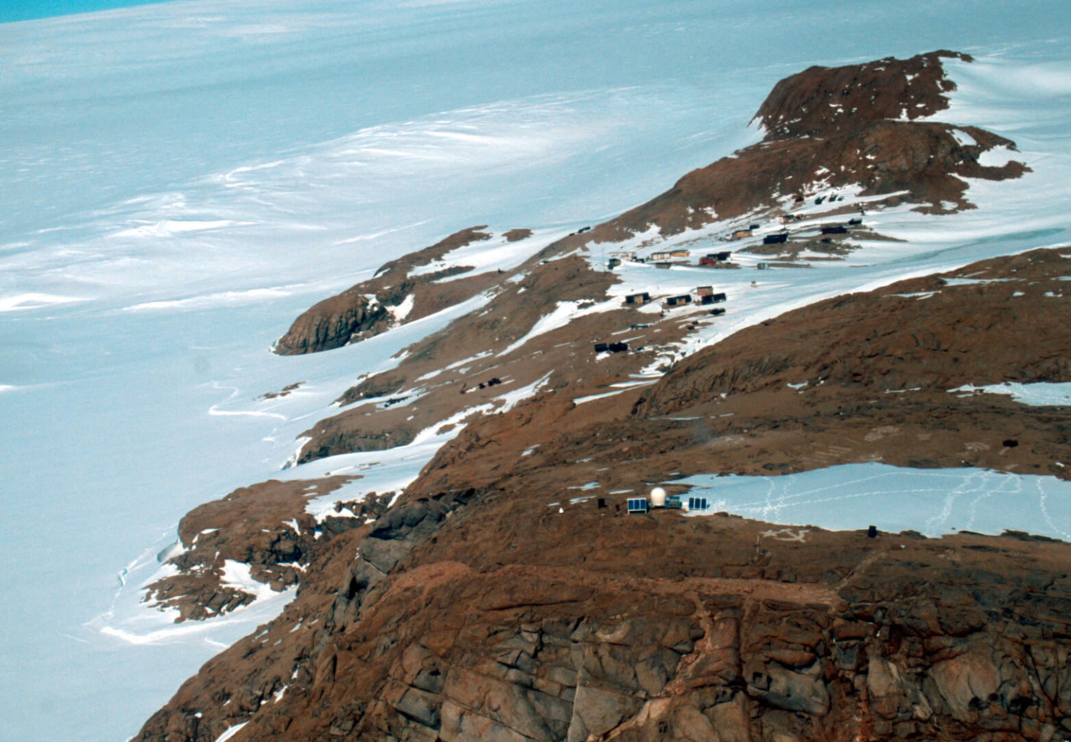
Landing Bluff GPS from the north looking down to Druzhnaya IV
(Click on image to view full resolution)
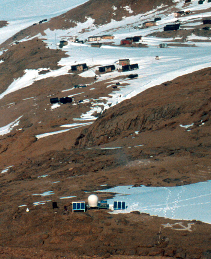
Landing Bluff GPS from the north looking down to Druzhnaya IV, zoomed in
(Click on image to view full resolution)
Landing Bluff GPS from the west, looking back to Sandefjord Bay
(Click on image to view full resolution)